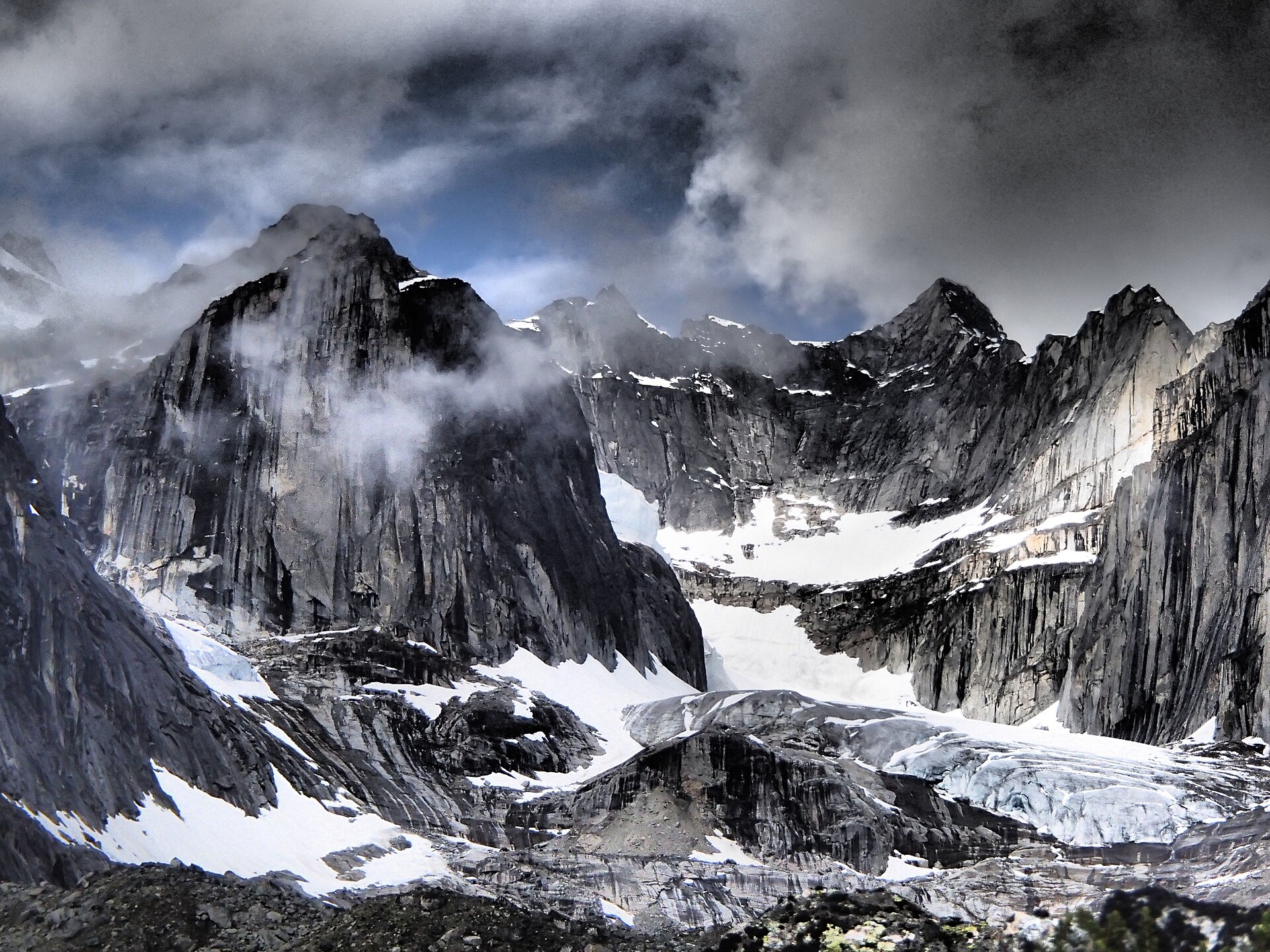
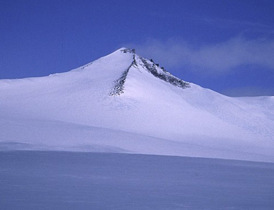
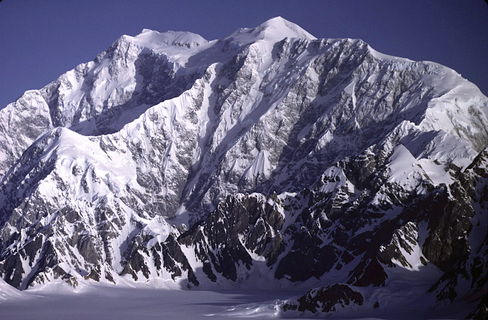
For a long time, some of the landscapes that stood out to me most were the mountains of Canada. Seeing places like Banff and Jasper National Parks and the incredible scenery surrounding them made me realize just how different and dramatic the landscapes of the Canadian Rockies felt. The mountains looked bigger, wilder, and more remote than anything I was used to seeing.


The more I looked into Canada’s highest peaks, the more interested I became. Unlike the United States, where some highpoints can be quick stops and others become major climbs, Canada introduces an entirely different level of challenge. Many of these peaks are incredibly remote, requiring long approaches, difficult terrain, and serious planning just to reach them. That sense of adventure and uncertainty is part of what makes them so exciting.


The goal of this project is simple: reach the highest natural point in each Canadian province and territory and experience not only the mountains themselves, but also the landscapes, parks, communities, and remote places that make Canada unique.

Mountain Name: Mount Columbia

Elevation: 12,293 ft (3,747 m)

Prominence: ~7,661 ft (2,335 m)

Mountain Range: Canadian Rockies / Columbia Mountains

Location: Border of Alberta and British Columbia within the Columbia Icefield region

Hiking Difficulty: Very Difficult / Mountaineering Expedition

Typical Trail Length: ~18–25+ miles round trip depending on route and camp locations

Notable Features:

  • Part of the massive Columbia Icefield, one of the largest ice fields in the Rocky Mountains
  • Highest point in Alberta
  • Surrounded by extensive glaciers and rugged alpine terrain
  • One of the most significant mountaineering peaks in the Canadian Rockies

Unique Characteristics:

  • Requires glacier travel, route finding, and mountaineering experience
  • Typically completed as a multi-day expedition rather than a day hike
  • Offers expansive views across surrounding icefields and mountain ranges
  • One of the more remote and challenging provincial highpoints in Canada

Best Time to Visit: July through early September when weather and glacier conditions are generally most favorable.
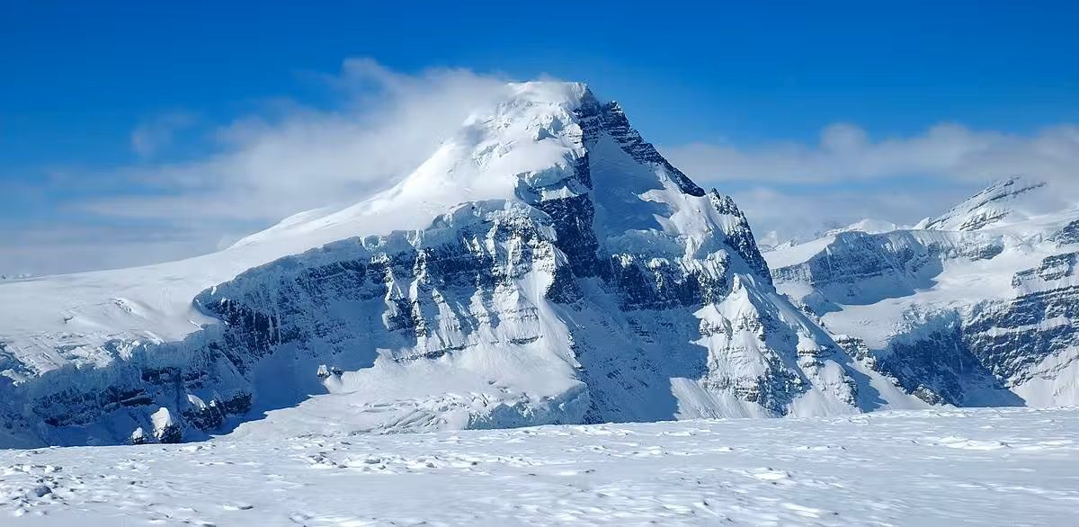
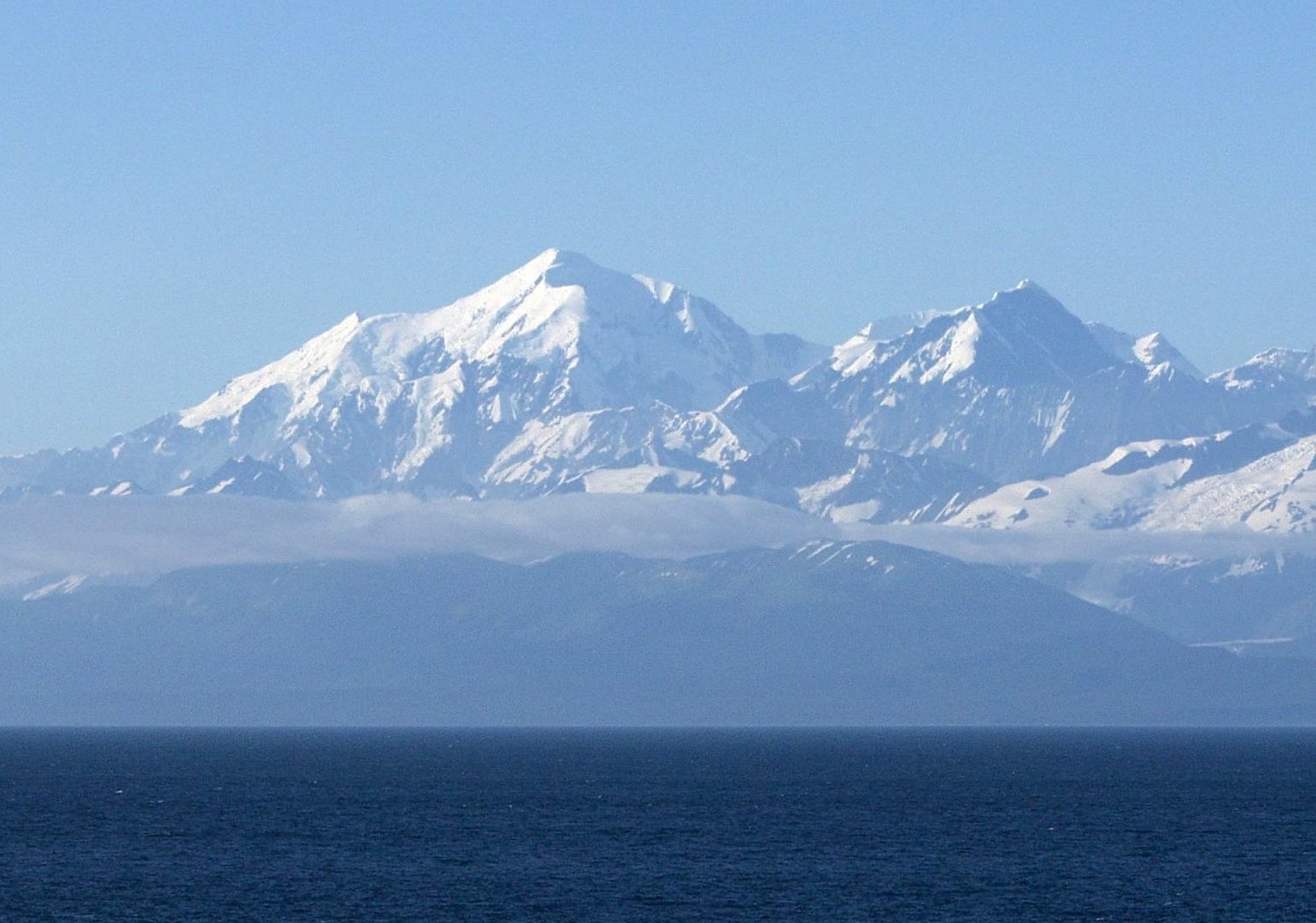
Mountain Name: Mount Fairweather

Elevation: 15,325 ft (4,671 m)

Prominence: ~10,499 ft (3,200 m)

Mountain Range: Saint Elias Mountains

Location: Border of British Columbia and Alaska within a remote coastal mountain region

Hiking Difficulty: Extreme / Technical Mountaineering Expedition

Typical Trail Length: Varies significantly by route; typically a multi-day expedition with glacier travel and technical climbing

Notable Features:

  • Highest point in British Columbia
  • Located along the border between Canada and Alaska
  • One of the tallest coastal mountains in the world
  • Known for rising dramatically from near sea level to over 15,000 feet

Unique Characteristics:

  • Considered one of the most challenging provincial highpoints in Canada
  • Severe weather can develop rapidly due to its coastal location
  • Requires advanced mountaineering, glacier travel, and expedition planning
  • Despite its name, conditions on the mountain are often anything but fair

Best Time to Visit: Late spring through summer, typically May through July, when weather windows and climbing conditions are generally most favorable.
Mountain Name: Baldy Mountain

Elevation: 2,727 ft (831 m)

Prominence: ~2,067 ft (630 m)

Mountain Range: Duck Mountain

Location: Duck Mountain Provincial Park

Hiking Difficulty: Easy to Moderate

Typical Trail Length: ~1–2 miles round trip depending on route

Notable Features:

  • Highest point in Manitoba
  • Located within Duck Mountain Provincial Park
  • Features forested landscapes and rolling terrain rather than dramatic alpine scenery
  • Summit area includes observation structures and scenic viewpoints

Unique Characteristics:

  • One of the more accessible Canadian provincial highpoints
  • Surrounding terrain feels more like boreal forest and hills than traditional mountains
  • Offers panoramic views over forests and lakes of western Manitoba
  • Represents a very different style of highpoint compared to Canada’s rugged western peaks

Best Time to Visit: Late spring through fall, especially summer and early fall for mild weather and forest scenery.

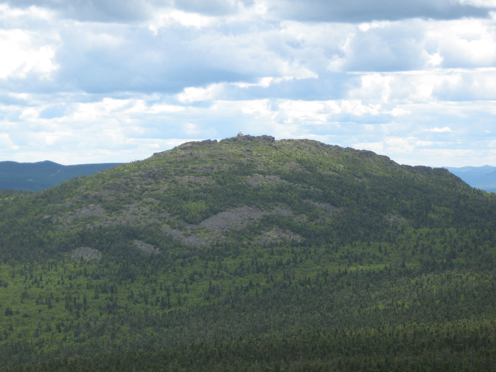
Mountain Name: Mount Carleton

Elevation: 2,693 ft (820 m)

Prominence: ~1,194 ft (364 m)

Mountain Range: Appalachian Mountains / Notre Dame Mountains

Location: Mount Carleton Provincial Park

Hiking Difficulty: Moderate

Typical Trail Length: ~7–9 miles round trip depending on route

Notable Features:

  • Highest point in New Brunswick
  • Located within Mount Carleton Provincial Park
  • Features a historic fire tower near the summit area
  • Surrounded by forests, lakes, and rolling Appalachian terrain

Unique Characteristics:

  • One of the best panoramic viewpoints in New Brunswick
  • Represents the northern extension of the Appalachian Mountain system
  • Offers a more traditional hiking experience compared to many remote Canadian highpoints
  • Combines mountain views with classic eastern Canada wilderness scenery

Best Time to Visit: Late spring through fall, especially September and early October for cooler temperatures and fall colors.**

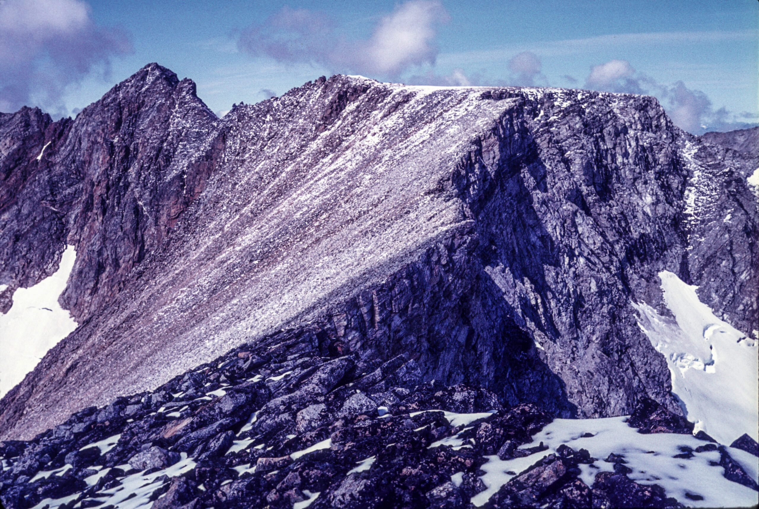
Mountain Name: Mount Caubvick

Elevation: 5,417 ft (1,652 m)

Prominence: ~5,417 ft (1,652 m)

Mountain Range: Torngat Mountains

Location: Northern Labrador near the border of Quebec within the remote Torngat Mountains region

Hiking Difficulty: Very Difficult / Remote Expedition

Typical Trail Length: Varies significantly depending on route and access; typically a multi-day backcountry expedition

Notable Features:

  • Highest point in Newfoundland and Labrador
  • Located within the rugged and remote Torngat Mountains
  • One of the most isolated provincial highpoints in Canada
  • Features dramatic Arctic landscapes and untouched wilderness

Unique Characteristics:

  • Access often requires flights and extensive wilderness logistics
  • The surrounding region is known for polar wildlife and remote terrain
  • Far more of an expedition experience than a traditional hike
  • One of the least visited and most remote provincial highpoints in Canada

Best Time to Visit: Summer, typically July through early September, when weather and access conditions are generally most favorable.
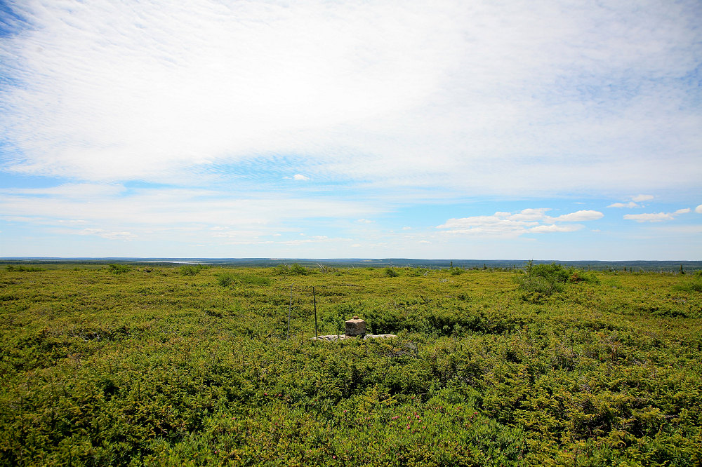
Mountain Name: White Hill

Elevation: 1,755 ft (535 m)

Prominence: ~1,217 ft (371 m)

Mountain Range: Cape Breton Highlands / Appalachian region

Location: Cape Breton Highlands region, Nova Scotia

Hiking Difficulty: Moderate to Difficult

Typical Trail Length: ~6–10 miles round trip depending on route and access conditions

Notable Features:

  • Highest point in Nova Scotia
  • Located in a remote forested region of Cape Breton Highlands terrain
  • Summit area is heavily wooded with limited panoramic views
  • Less defined and less frequently visited than many provincial highpoints

Unique Characteristics:

  • One of the more obscure provincial highpoints in Canada
  • Reaching the summit often involves route finding and rough terrain
  • The summit itself is subtle and not a dramatic mountain peak
  • Represents a very different highpoint experience compared to western Canadian summits

Best Time to Visit: Late spring through early fall, especially summer and early autumn for drier conditions and cooler temperatures.

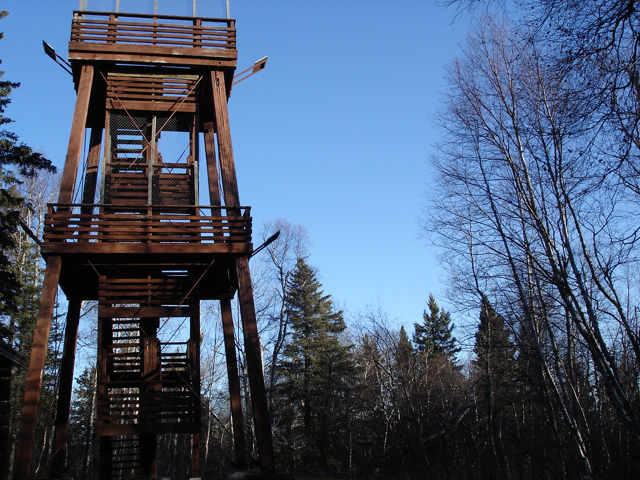
Mountain Name: Ishpatina Ridge

Elevation: 2,274 ft (693 m)

Prominence: ~1,247 ft (380 m)

Mountain Range: Canadian Shield

Location: Lady Evelyn-Smoothwater Provincial Park, northeastern Ontario

Hiking Difficulty: Difficult

Typical Trail Length: ~10–20+ miles round trip depending on route and access method

Notable Features:

  • Highest point in Ontario
  • Located within a remote wilderness region of northeastern Ontario
  • Summit area includes a historic fire tower site with forest views
  • Surrounded by lakes, forests, and classic Canadian Shield terrain

Unique Characteristics:

  • One of the most remote provincial highpoints despite its relatively low elevation
  • Often reached by canoe routes combined with hiking and backcountry travel
  • More of a wilderness navigation challenge than a mountain climb
  • Represents a very different experience compared to traditional alpine summits

Best Time to Visit: Summer through early fall, especially July through September, for favorable backcountry and canoe access conditions.

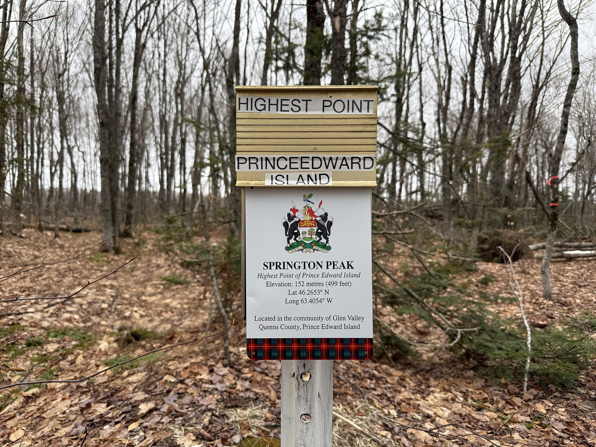
Mountain Name: Springton

Elevation: 466 ft (142 m)

Prominence: ~295 ft (90 m)

Mountain Range: None / Rolling uplands of Prince Edward Island

Location: Springton area, central Prince Edward Island

Hiking Difficulty: Very Easy

Typical Trail Length: Minimal walking required; summit area is accessible from nearby roads

Notable Features:

  • Highest point in Prince Edward Island
  • Lowest provincial highpoint in Canada
  • Located among the island’s gently rolling farmland and countryside
  • Summit area is subtle and blends into the surrounding landscape

Unique Characteristics:

  • One of the easiest provincial highpoints in Canada to reach
  • Feels more like a geographic high spot than a traditional mountain summit
  • Represents the complete opposite experience of remote expedition peaks like Mount Logan or Mount Fairweather
  • Highlights just how varied Canadian highpoints can be across the country

Best Time to Visit: Late spring through fall, especially summer and early autumn for pleasant weather and green countryside views.

Mountain Name: Mont d’Iberville

Elevation: 5,417 ft (1,652 m)

Prominence: ~5,417 ft (1,652 m)

Mountain Range: Torngat Mountains

Location: Northern Quebec along the Labrador border within the Torngat Mountains region

Hiking Difficulty: Very Difficult / Remote Expedition

Typical Trail Length: Varies significantly depending on route and access; typically a multi-day backcountry expedition

Notable Features:

  • Highest point in Quebec
  • Shares the same summit massif as Mount Caubvick along the Quebec–Labrador border
  • Located within the rugged and remote Torngat Mountains
  • Surrounded by dramatic Arctic landscapes and untouched wilderness

Unique Characteristics:

  • One of the most remote and difficult provincial highpoints in Canada
  • Access often requires flights and extensive wilderness logistics
  • More of an expedition than a traditional mountain climb
  • Features some of the wildest and least visited terrain in eastern North America

Best Time to Visit: Summer, typically July through early September, when weather and access conditions are generally most favorable.
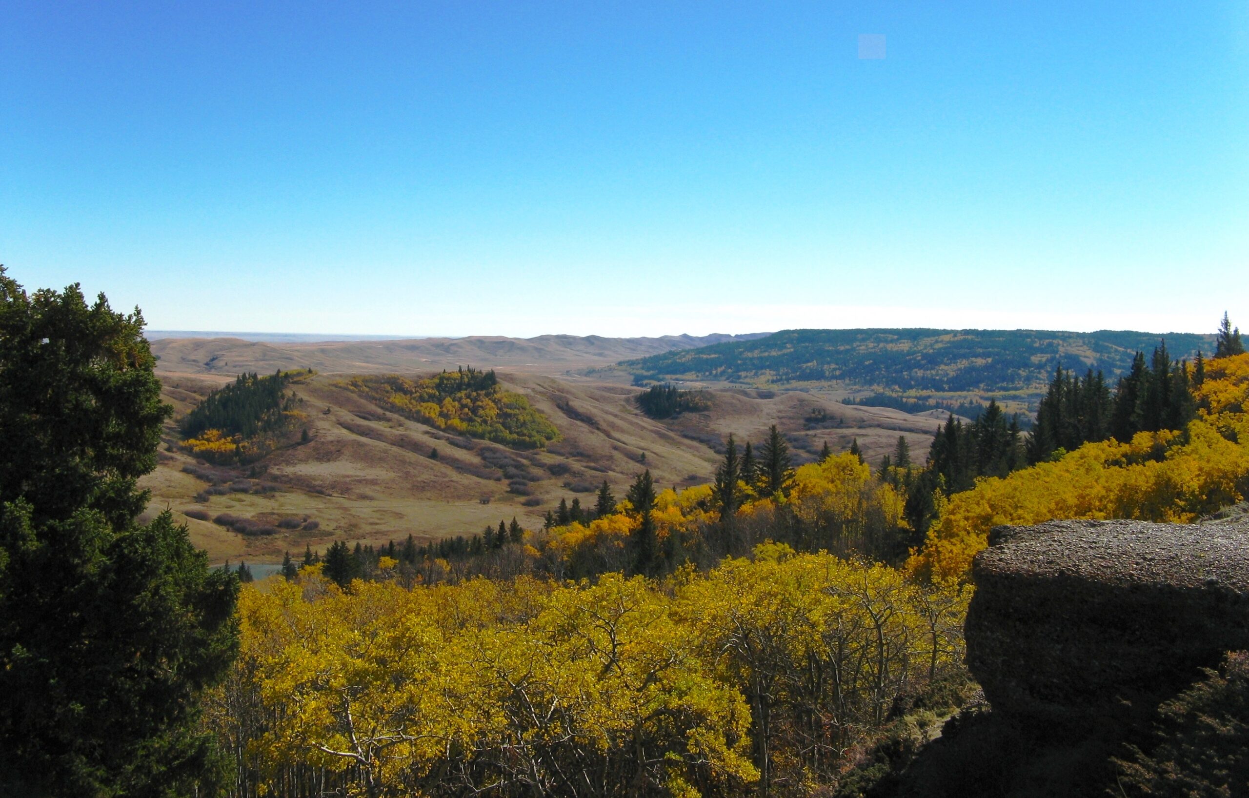
Mountain Name: Cypress Hills

Elevation: 4,816 ft (1,468 m)

Prominence: ~1,647 ft (502 m)

Mountain Range: Cypress Hills

Location: Cypress Hills Interprovincial Park

Hiking Difficulty: Easy to Moderate

Typical Trail Length: ~1–3 miles depending on route

Notable Features:

  • Highest point in Saskatchewan
  • Located within Cypress Hills Interprovincial Park
  • One of the highest points in Canada between the Rocky Mountains and Labrador
  • Surrounded by forested hills rising unexpectedly above prairie landscapes

Unique Characteristics:

  • Feels dramatically different from the surrounding flat prairie terrain
  • More accessible than many Canadian provincial highpoints
  • Offers sweeping views over forests, grasslands, and rolling hills
  • Represents an isolated highland rising above the Canadian plains

Best Time to Visit: Late spring through fall, especially summer and early autumn for mild weather and scenic prairie landscapes.

Mountain Name: Mount Nirvana

Elevation: 9,098 ft (2,773 m)

Prominence: ~5,098 ft (1,554 m)

Mountain Range: Mackenzie Mountains

Location: Nááts’įhch’oh National Park Reserve region within the Mackenzie Mountains

Hiking Difficulty: Extreme / Remote Mountaineering Expedition

Typical Trail Length: Varies significantly depending on route and access; typically a multi-day wilderness expedition

Notable Features:

  • Highest point in the Northwest Territories
  • Located within the rugged Mackenzie Mountain range
  • One of the most remote territorial highpoints in Canada
  • Surrounded by untouched wilderness and dramatic alpine terrain

Unique Characteristics:

  • Access often requires bush planes and extensive expedition logistics
  • Involves significant route finding and remote backcountry travel
  • Far more of an expedition than a traditional hiking objective
  • Receives very few summit attempts compared to more accessible Canadian peaks

Best Time to Visit: Summer, typically July through early August, when weather conditions and access opportunities are generally most favorable.
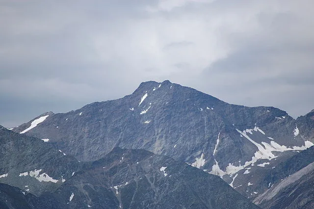
Mountain Name: Barbeau Peak

Elevation: 8,583 ft (2,616 m)

Prominence: ~5,445 ft (1,660 m)

Mountain Range: British Empire Range / Arctic Cordillera

Location: Quttinirpaaq National Park region on Ellesmere Island

Hiking Difficulty: Extreme / Arctic Expedition

Typical Trail Length: Varies significantly depending on route and access; typically a multi-day remote expedition with glacier travel

Notable Features:

  • Highest point in Nunavut
  • Highest mountain in the Arctic Cordillera mountain system
  • Located on remote Ellesmere Island, one of the northernmost inhabited regions on Earth
  • Surrounded by glaciers, ice caps, and Arctic wilderness landscapes

Unique Characteristics:

  • One of the most remote and difficult territorial highpoints in Canada
  • Access typically requires flights, expedition logistics, and extensive planning
  • Features true Arctic conditions and an extremely short climbing season
  • Far more of a polar expedition than a traditional mountain climb

Best Time to Visit: Late spring through summer, typically May through July, when Arctic weather and access conditions are most favorable.

Mountain Name: Mount Logan

Elevation: 19,551 ft (5,959 m)

Prominence: ~17,290 ft (5,271 m)

Mountain Range: Saint Elias Mountains

Location: Kluane National Park and Reserve region within the Saint Elias Mountains

Hiking Difficulty: Extreme / Major Mountaineering Expedition

Typical Trail Length: Varies significantly depending on route; typically a multi-week expedition with glacier travel and high-altitude climbing

Notable Features:

  • Highest point in Yukon
  • Highest mountain in Canada
  • Second-highest peak in North America after Denali
  • Contains one of the largest mountain massifs on Earth

Unique Characteristics:

  • Considered one of the most serious mountaineering objectives in North America
  • Requires glacier travel, expedition logistics, and extensive high-altitude experience
  • Climbers often spend multiple weeks on the mountain due to weather and scale
  • Extreme weather conditions can occur even during climbing season

Best Time to Visit: Late spring through early summer, typically May through June, when climbing conditions and weather windows are generally most favorable.